
Ban Pong topographic map
Interactive map
Click on the map to display elevation.
About this map
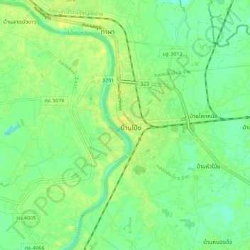
Name: Ban Pong topographic map, elevation, terrain.
Location: Ban Pong, Ratchaburi Province, 70110, Thailand (13.77530 99.83095 13.85530 99.91095)
Average elevation: 11 m
Minimum elevation: 2 m
Maximum elevation: 19 m