
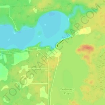
Great Falls topographic map
Interactive map
Click on the map to display elevation.
About this map
Name: Great Falls topographic map, elevation, terrain.
Location: Great Falls, Manitoba, Canada (50.43913 -96.03231 50.47913 -95.99231)
Average elevation: 244 m
Minimum elevation: 228 m
Maximum elevation: 262 m