
Lakeville topographic map
Interactive map
Click on the map to display elevation.
About this map
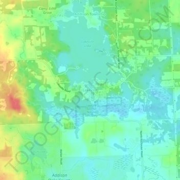
Name: Lakeville topographic map, elevation, terrain.
Location: Lakeville, Oakland County, Michigan, 48366, United States (42.80142 -83.17021 42.84142 -83.13021)
Average elevation: 299 m
Minimum elevation: 281 m
Maximum elevation: 336 m