
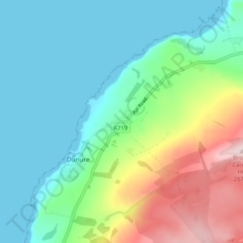
Fisherton topographic map
Interactive map
Click on the map to display elevation.
About this map
Name: Fisherton topographic map, elevation, terrain.
Location: Fisherton, South Ayrshire, Scotland, KA7 4LJ, United Kingdom (55.39255 -4.76466 55.43255 -4.72466)
Average elevation: 79 m
Minimum elevation: -1 m
Maximum elevation: 287 m