
Blue Ridge topographic map
Click on the map to display elevation.
Gear up for your next adventure:
As an Amazon Associate, this site earns from qualifying purchases at no extra cost to you.
About this map
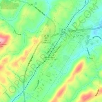
Name: Blue Ridge topographic map, elevation, terrain.
Location: Blue Ridge, Fannin County, Georgia, United States (34.84741 -84.34159 34.88675 -84.29448)
Average elevation: 535 m
Minimum elevation: 472 m
Maximum elevation: 639 m