
Bobs Lake topographic map
Interactive map
Click on the map to display elevation.
About this map
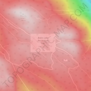
Name: Bobs Lake topographic map, elevation, terrain.
Average elevation: 607 m
Minimum elevation: 107 m
Maximum elevation: 724 m
Other topographic maps
Click on a map to view its topography, its elevation and its terrain.
Strait of Georgia
Canada > British Columbia > Area D (Texada Island)
Strait of Georgia, Area D (Texada Island), qathet Regional District, British Columbia, Canada
Average elevation: 0 m