
Umnudelger topographic map
Interactive map
Click on the map to display elevation.
About this map
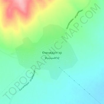
Name: Umnudelger topographic map, elevation, terrain.
Location: Umnudelger, Omnodelger, Khentii, Mongolia (47.88100 109.79548 47.89561 109.81989)
Average elevation: 1,328 m
Minimum elevation: 1,286 m
Maximum elevation: 1,429 m