
Waugh topographic map
Interactive map
Click on the map to display elevation.
About this map
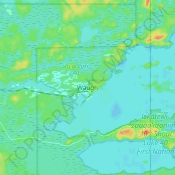
Name: Waugh topographic map, elevation, terrain.
Location: Waugh, Manitoba, Canada (49.58673 -95.23791 49.66673 -95.15791)
Average elevation: 328 m
Minimum elevation: 320 m
Maximum elevation: 360 m
Manitoba trails, hiking, mountain biking, running and outdoor activities