
Wheaton topographic map
Interactive map
Click on the map to display elevation.
About this map
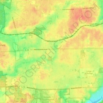
Name: Wheaton topographic map, elevation, terrain.
Location: Wheaton, DuPage County, Illinois, United States of America (41.81856 -88.14892 41.89533 -88.07539)
Average elevation: 231 m
Minimum elevation: 205 m
Maximum elevation: 248 m