
Bridgeville topographic map
Interactive map
Click on the map to display elevation.
About this map
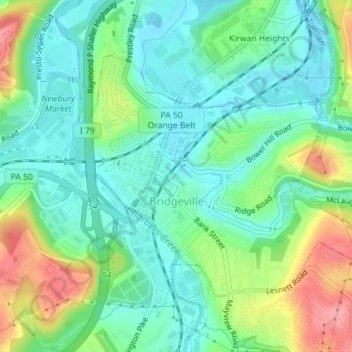
Name: Bridgeville topographic map, elevation, terrain.
Average elevation: 275 m
Minimum elevation: 242 m
Maximum elevation: 344 m
According to the United States Census Bureau, the borough has a total area of 1.1 square miles (2.8 km2), all of it land. Its average elevation is 1,250 ft (381 m) above sea level.