
Horton topographic map
Interactive map
Click on the map to display elevation.
About this map
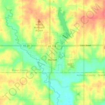
Name: Horton topographic map, elevation, terrain.
Location: Horton, Brown County, Kansas, United States of America (39.65287 -95.58289 39.67455 -95.50972)
Average elevation: 327 m
Minimum elevation: 300 m
Maximum elevation: 354 m