
Beasley topographic map
Interactive map
Click on the map to display elevation.
About this map
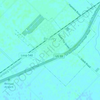
Name: Beasley topographic map, elevation, terrain.
Location: Beasley, Fort Bend County, Texas, United States (29.48460 -95.92783 29.50410 -95.90366)
Average elevation: 33 m
Minimum elevation: 31 m
Maximum elevation: 36 m