
Puławy County topographic map
Interactive map
Click on the map to display elevation.
About this map
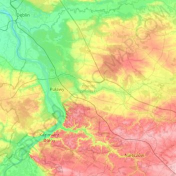
Name: Puławy County topographic map, elevation, terrain.
Location: Puławy County, Lublin Voivodeship, Poland (51.25212 21.76094 51.58498 22.31417)
Average elevation: 159 m
Minimum elevation: 104 m
Maximum elevation: 236 m
Other topographic maps
Click on a map to view its topography, its elevation and its terrain.