
Saint-Jean topographic map
Interactive map
Click on the map to display elevation.
About this map
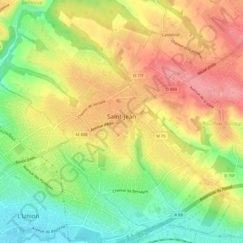
Name: Saint-Jean topographic map, elevation, terrain.
Average elevation: 187 m
Minimum elevation: 135 m
Maximum elevation: 233 m
Other topographic maps
Click on a map to view its topography, its elevation and its terrain.
Luchon-Superbagnères
France > Occitania > Haute-Garonne > Saint-Aventin > Luchon-Superbagnères
Average elevation: 1,331 m