
Mumper topographic map
Interactive map
Click on the map to display elevation.
About this map
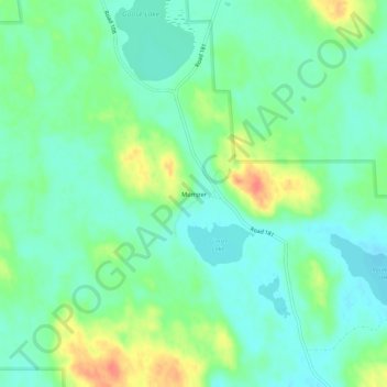
Name: Mumper topographic map, elevation, terrain.
Location: Mumper, Garden County, Nebraska, United States of America (41.74137 -102.46020 41.78137 -102.42020)
Average elevation: 1,174 m
Minimum elevation: 1,157 m
Maximum elevation: 1,208 m