
Mirriah topographic map
Interactive map
Click on the map to display elevation.
About this map
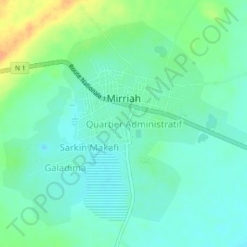
Name: Mirriah topographic map, elevation, terrain.
Location: Mirriah, Zinder, Niger (13.70106 9.14515 13.71926 9.16705)
Average elevation: 408 m
Minimum elevation: 398 m
Maximum elevation: 433 m