
Ballangen - Bálák topographic map
Interactive map
Click on the map to display elevation.
About this map
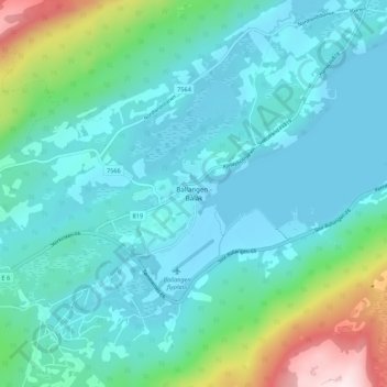
Name: Ballangen - Bálák topographic map, elevation, terrain.
Location: Ballangen - Bálák, Narvik, Nordland, Norway (68.32287 16.81134 68.36287 16.85134)
Average elevation: 91 m
Minimum elevation: -2 m
Maximum elevation: 511 m
Other topographic maps
Click on a map to view its topography, its elevation and its terrain.