
Guata topographic map
Click on the map to display elevation.
Gear up for your next adventure:
As an Amazon Associate, this site earns from qualifying purchases at no extra cost to you.
About this map
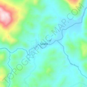
Name: Guata topographic map, elevation, terrain.
Location: Guata, Olancho, Honduras (15.06229 -86.43756 15.10229 -86.39756)
Average elevation: 765 m
Minimum elevation: 653 m
Maximum elevation: 1,142 m