
Phana topographic map
Interactive map
Click on the map to display elevation.
About this map
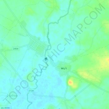
Name: Phana topographic map, elevation, terrain.
Location: Phana, Amnat Charoen Province, Thailand (15.66021 104.83176 15.70021 104.87176)
Average elevation: 132 m
Minimum elevation: 124 m
Maximum elevation: 153 m