
Nong Song Hong topographic map
Interactive map
Click on the map to display elevation.
About this map
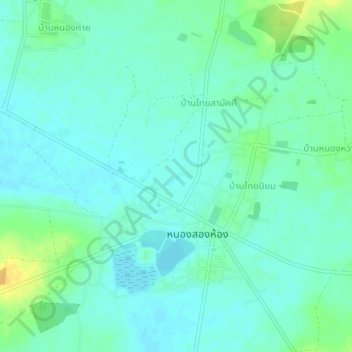
Name: Nong Song Hong topographic map, elevation, terrain.
Location: Nong Song Hong, Khon Kaen Province, Thailand (15.71770 102.77081 15.75770 102.81081)
Average elevation: 169 m
Minimum elevation: 161 m
Maximum elevation: 187 m