
Blackie topographic map
Interactive map
Click on the map to display elevation.
About this map
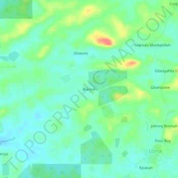
Name: Blackie topographic map, elevation, terrain.
Location: Blackie, Salala, Bong County, Liberia (6.70509 -10.07063 6.74509 -10.03063)
Average elevation: 123 m
Minimum elevation: 103 m
Maximum elevation: 171 m