
Haslett topographic map
Interactive map
Click on the map to display elevation.
About this map
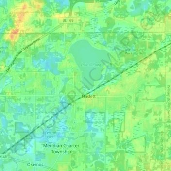
Name: Haslett topographic map, elevation, terrain.
Location: Haslett, Ingham County, Michigan, 48840, USA (42.73118 -84.44751 42.77000 -84.36346)
Average elevation: 263 m
Minimum elevation: 251 m
Maximum elevation: 282 m