
Ao Nang topographic map
Interactive map
Click on the map to display elevation.
About this map
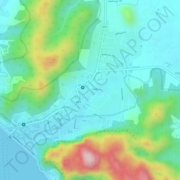
Name: Ao Nang topographic map, elevation, terrain.
Location: Ao Nang, Krabi Province, Thailand (8.02658 98.81413 8.05011 98.84430)
Average elevation: 54 m
Minimum elevation: 0 m
Maximum elevation: 315 m