
Chiemsee topographic map
Interactive map
Click on the map to display elevation.
About this map
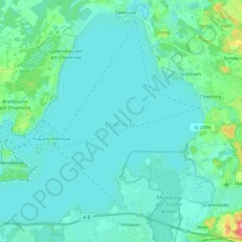
Name: Chiemsee topographic map, elevation, terrain.
Average elevation: 525 m
Minimum elevation: 511 m
Maximum elevation: 625 m
Other topographic maps
Click on a map to view its topography, its elevation and its terrain.
Fraueninsel
Fraueninsel, Chiemsee, Breitbrunn am Chiemsee (VGem), Landkreis Rosenheim, Upper Bavaria, Bavaria, 83256, Germany
Average elevation: 518 m