
Jasenice topographic map
Interactive map
Click on the map to display elevation.
About this map
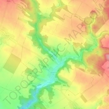
Name: Jasenice topographic map, elevation, terrain.
Location: Jasenice, okres Třebíč, Kraj Vysočina, Southeast, Czechia (49.25090 16.14763 49.27621 16.19920)
Average elevation: 468 m
Minimum elevation: 396 m
Maximum elevation: 524 m