
St. Johns River topographic map
Interactive map
Click on the map to display elevation.
About this map
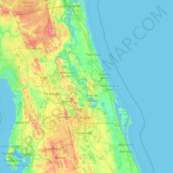
Name: St. Johns River topographic map, elevation, terrain.
Location: St. Johns River, Lake County, Florida, 32203, USA (27.64294 -81.70474 30.41574 -80.74146)
Average elevation: 13 m
Minimum elevation: -3 m
Maximum elevation: 95 m
Other topographic maps
Click on a map to view its topography, its elevation and its terrain.