
Moose topographic map
Interactive map
Click on the map to display elevation.
About this map
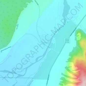
Name: Moose topographic map, elevation, terrain.
Location: Moose, Teton County, Wyoming, United States of America (43.63577 -110.73826 43.67577 -110.69826)
Average elevation: 2,007 m
Minimum elevation: 1,954 m
Maximum elevation: 2,340 m