
Shell Lake topographic map
Interactive map
Click on the map to display elevation.
About this map
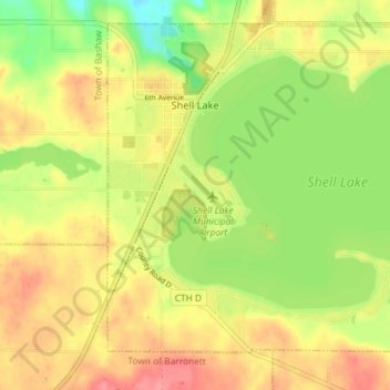
Name: Shell Lake topographic map, elevation, terrain.
Location: Shell Lake, Washburn County, Wisconsin, USA (45.70904 -91.93947 45.75362 -91.86714)
Average elevation: 377 m
Minimum elevation: 338 m
Maximum elevation: 409 m