
Mount Leuser topographic map
Interactive map
Click on the map to display elevation.
About this map
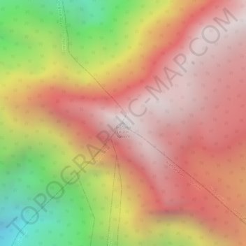
Name: Mount Leuser topographic map, elevation, terrain.
Location: Mount Leuser, Kuta Panjang, Gayo Lues, Aceh, Indonesia (3.74139 97.15501 3.74149 97.15511)
Average elevation: 2,556 m
Minimum elevation: 1,606 m
Maximum elevation: 3,096 m