
Hưng Phú topographic map
Interactive map
Click on the map to display elevation.
About this map
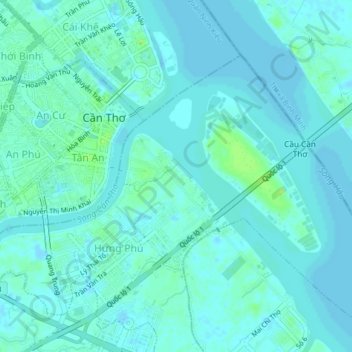
Name: Hưng Phú topographic map, elevation, terrain.
Location: Hưng Phú, Cái Răng District, Can Tho City, 8200, Vietnam (10.00973 105.77587 10.04973 105.81587)
Average elevation: 3 m
Minimum elevation: -4 m
Maximum elevation: 14 m