
Torno Largo topographic map
Interactive map
Click on the map to display elevation.
About this map
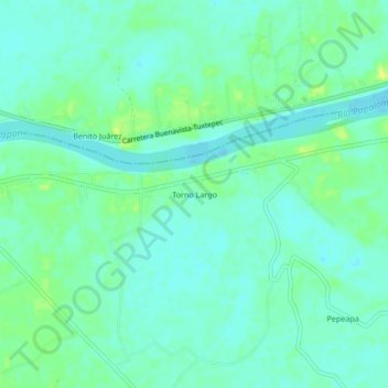
Name: Torno Largo topographic map, elevation, terrain.
Location: Torno Largo, Chacaltianguis, Veracruz, Mexico (18.25083 -95.90222 18.29083 -95.86222)
Average elevation: 9 m
Minimum elevation: 2 m
Maximum elevation: 21 m