
Windsor topographic map
Interactive map
Click on the map to display elevation.
About this map
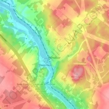
Name: Windsor topographic map, elevation, terrain.
Location: Windsor, Le Val-Saint-François, Estrie, Quebec, Canada (45.55061 -72.03453 45.59197 -71.95873)
Average elevation: 181 m
Minimum elevation: 117 m
Maximum elevation: 237 m