
Martinsburg topographic map
Interactive map
Click on the map to display elevation.
About this map
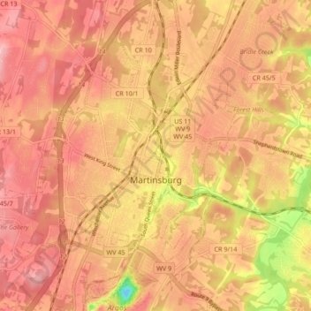
Name: Martinsburg topographic map, elevation, terrain.
Location: Martinsburg, Berkeley County, West Virginia, United States (39.43724 -78.02566 39.48533 -77.94153)
Average elevation: 150 m
Minimum elevation: 46 m
Maximum elevation: 196 m
Other topographic maps
Click on a map to view its topography, its elevation and its terrain.
Hedgesville
United States > West Virginia > Berkeley County
Hedgesville, Berkeley County, West Virginia, United States
Average elevation: 184 m