
Jalai topographic map
Interactive map
Click on the map to display elevation.
About this map
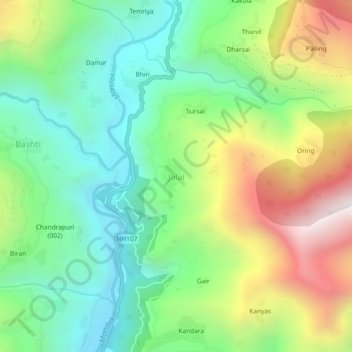
Name: Jalai topographic map, elevation, terrain.
Location: Jalai, Ukhimath, Rudraprayag, Uttarakhand, 246419, India (30.43624 79.06267 30.47624 79.10267)
Average elevation: 1,311 m
Minimum elevation: 852 m
Maximum elevation: 2,116 m