
Nanjemoy topographic map
Interactive map
Click on the map to display elevation.
About this map
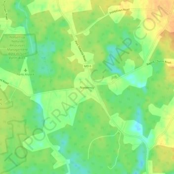
Name: Nanjemoy topographic map, elevation, terrain.
Location: Nanjemoy, Charles County, Maryland, 20662, United States (38.43485 -77.23692 38.47485 -77.19692)
Average elevation: 22 m
Minimum elevation: 4 m
Maximum elevation: 39 m