
Port Alberni topographic map
Interactive map
Click on the map to display elevation.
About this map
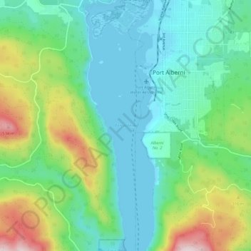
Name: Port Alberni topographic map, elevation, terrain.
Location: Port Alberni, British Columbia, Canada (49.18603 -124.83982 49.25391 -124.80942)
Average elevation: 154 m
Minimum elevation: -1 m
Maximum elevation: 586 m