
Vitry-sur-Seine topographic map
Interactive map
Click on the map to display elevation.
About this map
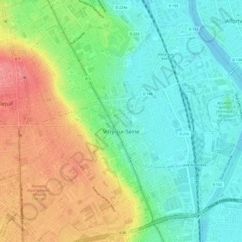
Name: Vitry-sur-Seine topographic map, elevation, terrain.
Average elevation: 62 m
Minimum elevation: 28 m
Maximum elevation: 116 m
Other topographic maps
Click on a map to view its topography, its elevation and its terrain.
Nogent-sur-Marne
France > Ile-de-France > Val-de-Marne > Nogent-sur-Marne > Nogent-sur-Marne
Average elevation: 66 m