
Kennicott Glacier topographic map
Interactive map
Click on the map to display elevation.
About this map
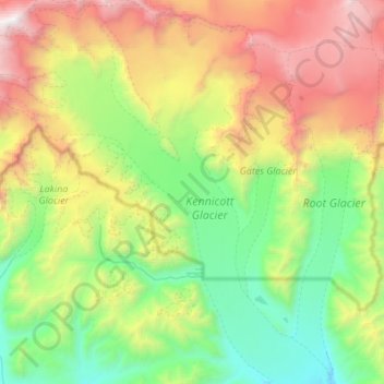
Name: Kennicott Glacier topographic map, elevation, terrain.
Location: Kennicott Glacier, Copper River, Alaska, United States (61.46727 -143.39869 61.74543 -142.89346)
Average elevation: 1,781 m
Minimum elevation: 518 m
Maximum elevation: 4,477 m