
Jablahe topographic map
Interactive map
Click on the map to display elevation.
About this map
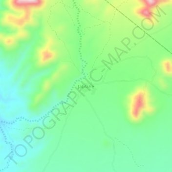
Name: Jablahe topographic map, elevation, terrain.
Location: Jablahe, Caynabo, Sool, Somaliland, Somalia (9.95566 46.09142 9.99566 46.13142)
Average elevation: 1,185 m
Minimum elevation: 1,082 m
Maximum elevation: 1,404 m