
Beasley topographic map
Interactive map
Click on the map to display elevation.
About this map
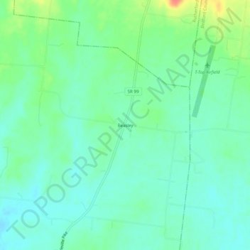
Name: Beasley topographic map, elevation, terrain.
Location: Beasley, Marshall County, Tennessee, USA (35.66007 -86.67194 35.70007 -86.63194)
Average elevation: 232 m
Minimum elevation: 217 m
Maximum elevation: 269 m