
Gabrene topographic map
Interactive map
Click on the map to display elevation.
About this map
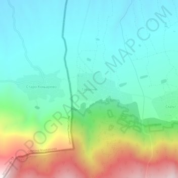
Name: Gabrene topographic map, elevation, terrain.
Location: Gabrene, Petrich, Blagoevgrad, 2898, Bulgaria (41.34689 22.95020 41.38689 22.99020)
Average elevation: 529 m
Minimum elevation: 194 m
Maximum elevation: 1,396 m