
Somerset Center topographic map
Interactive map
Click on the map to display elevation.
About this map
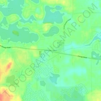
Name: Somerset Center topographic map, elevation, terrain.
Location: Somerset Center, Hillsdale County, Michigan, 49282, USA (42.03115 -84.43356 42.07115 -84.39356)
Average elevation: 325 m
Minimum elevation: 307 m
Maximum elevation: 356 m