
Cumberland topographic map
Interactive map
Click on the map to display elevation.
About this map
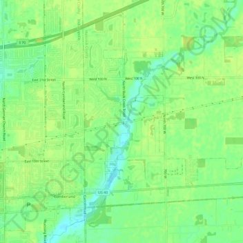
Name: Cumberland topographic map, elevation, terrain.
Location: Cumberland, Marion County, Indiana, United States (39.77011 -85.97133 39.81025 -85.93256)
Average elevation: 260 m
Minimum elevation: 250 m
Maximum elevation: 265 m