
Yangyang-gun topographic map
Interactive map
Click on the map to display elevation.
About this map
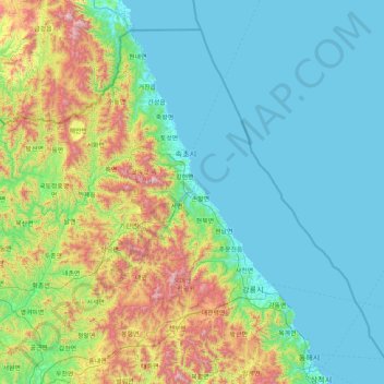
Name: Yangyang-gun topographic map, elevation, terrain.
Location: Yangyang-gun, Gangwon-do, 25023, South Korea (37.43510 127.97910 38.71510 129.25910)
Average elevation: 303 m
Minimum elevation: 0 m
Maximum elevation: 1,678 m