
Panderejo topographic map
Interactive map
Click on the map to display elevation.
About this map
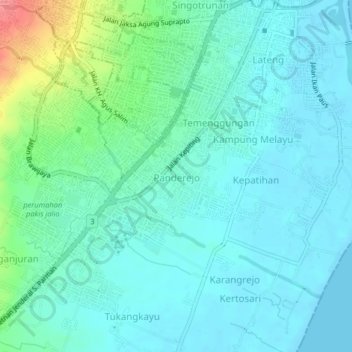
Name: Panderejo topographic map, elevation, terrain.
Location: Panderejo, Banyuwangi, East Java, 68418, Indonesia (-8.25394 114.34582 -8.21394 114.38582)
Average elevation: 17 m
Minimum elevation: -1 m
Maximum elevation: 83 m