
Delta topographic map
Interactive map
Click on the map to display elevation.
About this map
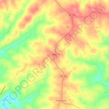
Name: Delta topographic map, elevation, terrain.
Location: Delta, Stokes County, North Carolina, 27046, USA (36.45458 -80.12116 36.49458 -80.08116)
Average elevation: 315 m
Minimum elevation: 260 m
Maximum elevation: 353 m