
городское поселение Николаевск-на-Амуре topographic map
Interactive map
Click on the map to display elevation.
About this map
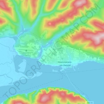
Name: городское поселение Николаевск-на-Амуре topographic map, elevation, terrain.
Average elevation: 84 m
Minimum elevation: -7 m
Maximum elevation: 357 m