
Scraggy Ledge topographic map
Interactive map
Click on the map to display elevation.
About this map
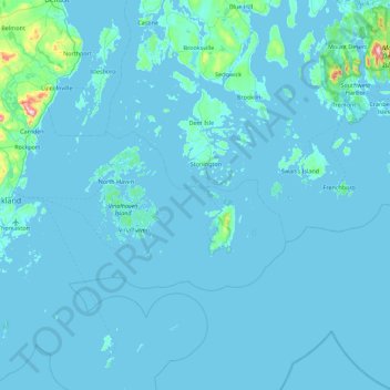
Name: Scraggy Ledge topographic map, elevation, terrain.
Location: Scraggy Ledge, Knox County, Maine, USA (43.78425 -69.01225 44.42425 -68.37225)
Average elevation: 12 m
Minimum elevation: -2 m
Maximum elevation: 409 m
Other topographic maps
Click on a map to view its topography, its elevation and its terrain.