
Garber topographic map
Interactive map
Click on the map to display elevation.
About this map
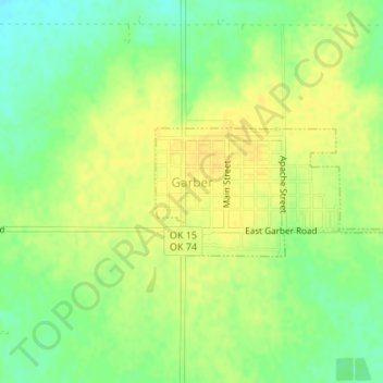
Name: Garber topographic map, elevation, terrain.
Location: Garber, Oklahoma, USA (36.43172 -97.58885 36.44077 -97.56779)
Average elevation: 354 m
Minimum elevation: 340 m
Maximum elevation: 363 m