
Ramallah topographic map
Interactive map
Click on the map to display elevation.
Ramallah
Ramallah (UK: /rəˈmælə/ rə-MAL-ə, US: /rəˈmɑːlə/ rə-MAH-lə; Arabic: رام الله, romanized: Rām Allāh, lit. 'God's Height') is a Palestinian city in the central West Bank located 10 km (6 miles) north of Jerusalem at an average elevation of 880 meters (2,890 ft) above sea level, adjacent to al-Bireh. It currently serves as the de facto administrative capital of the Palestinian National Authority (PNA). Ramallah was historically an Arab Christian town. Muslims form the majority of the population of nearly 27,092 in 2007, with Christians making up a significant minority.
About this map
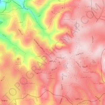
Name: Ramallah topographic map, elevation, terrain.
Location: Ramallah, Area A, Judea and Samaria, Palestinian Territory (31.88387 35.16453 31.92956 35.21024)
Average elevation: 795 m
Minimum elevation: 544 m
Maximum elevation: 889 m